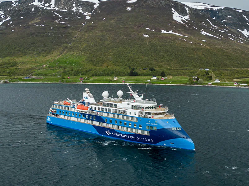
19 Day Artic Itinerary
Day 1: Reykjavík, Iceland
In the evening, Longyearbyen is reached by expedition ship. This tiny town, after days of isolation will feel like a big city. Longyearbyen has the most northernmost... everything! Longyearbyen, the city in northernmost Svalbard (except for the tiny research community Ny-Alesund) is also the world's most northerly town. The northernmost school, airport, bank and supermarket are also located here. The town is rugged, but it's surrounded by warmth and Nordic hospitality. Norwegians refer to it as "koseligt". After saying farewell to the Expedition Team and crew of the expedition ship, you can explore Longyearbyen at your leisure. After saying goodbye to the crew and Expedition Team, proceed to Svalbard Airport to catch your flight back to Oslo.
Day 2: Crossing the Denmark Strait
Day 3: Tasiilaq, East Greenland
Tasiilaq is our first stop in Greenland. It's the biggest settlement in East Greenland. Tasiilaq, which is the largest settlement in East Greenland, was the first place we visited. Unlike West Greenland, where contact with Europe has been uninterrupted since the early 1700s. East Greenland's (Tunumiit), because of the vast distances of Arctic travel, was isolated from its cousins in the west. The language, culture and traditions of East Greenland are therefore different to other areas of the country.
Here, ancient traditions still hold sway. The last Angakkuit (Shamans), who lived in this region, are no longer around. This is where the tupilak lives. It's a creature made from human and animal body parts that can wreak havoc when it comes to enemies. It was risky to create a monster, because it might be turned around by an even more powerful magician. Locals began carving facsimiles of these beasts in horn or bone, which was the beginning of one Greenland’s most beautiful artistic traditions. Tasiilaq's tupilaat are among the finest in the country.
Tasiilaq is located in an ideal natural harbour at Ammassalik Island, also known as 'The Place of Many Capelins'. Although superficially similar with towns along the West Coast of Canada, this area is more rugged and has fewer people. There are also more sled dog teams. Tasiilaq is a great place to discover, as there are many hiking trails such as Flower Valley that can be easily accessed from the town. If you want to learn more about the Tunumiit people, then visit the old church in Tasiilaq, listen to the choir in the new church or see a drummer in a traditional East Greenlandic outfit perform an ancient spiritual tradition. Visit the Stunk Artist's Workshop where talented craftsmen make beautiful items from local natural materials. If you prefer, climb up to the top of the hill and enjoy the most beautiful views in all the country.
Day 4: Ikateq and Kuummiut, East Greenland
We will set sail in the morning slightly to the east towards Ikateq. This spectacular fjord has a rich history. In the darkest hours of World War II, American forces built an airbase on this coast (part of a network that includes Kangerlussuaq) as a transit point for planes flying between Europe and North America. East Greenland's rugged terrain made the entrance to the airport hazardous. Fog often obscured the dangerous mountains. Ikateq Airbase, also known as Bluie 2 East, was constructed with huge resources. A 5,000ft long runway, barracks, and a port were built. The remote area was also supplied with a fleet of vehicles, thousands of barrels and fuel. The United States Military left the base almost completely in 1947 after Germany was defeated and improvements were made to the intercontinental planes.
Nuuk, Copenhagen, and Washington have been at odds over the air base for years. The Greenlandic Government wanted to clean up the ruins and remove the debris, but this was a costly and difficult task. The Danish government agreed to take out hazardous waste (primarily decaying fuel barrels) from the site, but left the other equipment as a part of local history. 75 years on, however, the site is still largely the same as the day that the Americans left. Ikateq, an eerie and fascinating place that is set in a time-warp of the Second World War, has a unique atmosphere.
The small village Kuummiut is located in tranquil surroundings on the Ammassalik Fjord. Kuummiut, which means 'People Who Live By the River' is one of East Greenland's largest and most prosperous villages. Kuummiut, which is located on some of East Greenland’s most productive fishing grounds, has the only fish processing factory in the area. Fishermen from all over the world come to Ammassalik Fjord to sell their catch.
Kuummiut offers a unique opportunity to learn about life in East Greenlandic villages. Kuummiut is a place where you can hear the yowling sled dog and wind blowing through the grass. There are no roads in and out of the village. Local transport is by sea, although motorboats now replace the old skin boats that brought the people here many years ago. The perfect spot to sit and watch icebergs pass by, or perhaps whales playing in the calm water offshore.
We will navigate from Kuummiut through the maze of fjords to Sermilik.
Day 5: Sermilik, East Greenland
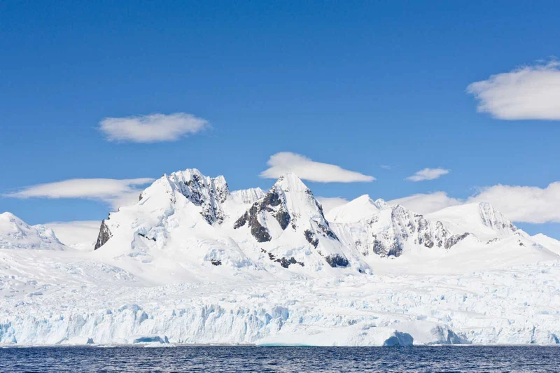
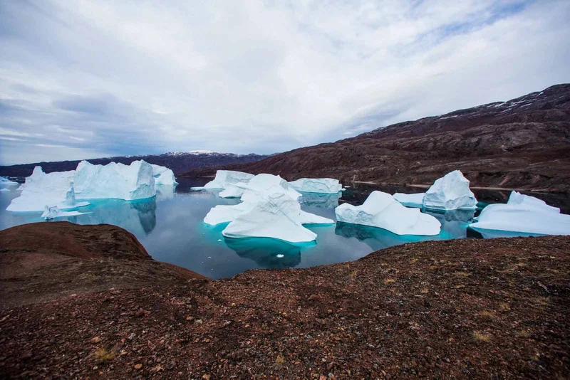
The vast Sermilik Fjord separates Ammassalik Island and the Greenlandic continent. Sermilik, a descriptive Greenlandic name, means 'the Glacial Fjord.' It is not hard to see why, as this waterway, choked with icebergs and soaring mountains, is one of the greatest natural wonders in the area. Most of these icebergs originate from the Helheim Glacier - one of the biggest glaciers on this frozen continent. Helheim Glacier and the other glaciers that empty directly into the Fjord come from the Greenland Ice Sheet. The edges can be seen rising to the east at thousands of meters towards the frozen heart of this vast island.
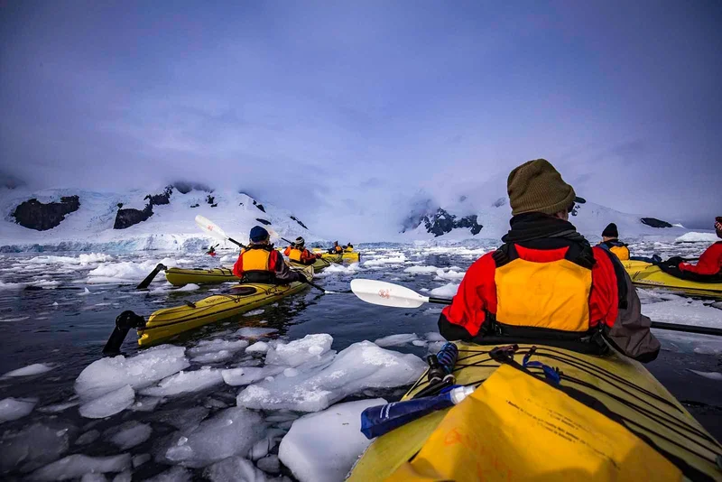
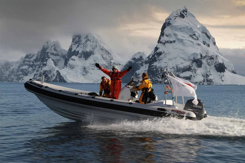
Our activities will be determined by the volume of ice in Sermilikfjord. We can either explore on water, admiring the natural sculptures created from ice, and take a Zodiac tour through the icebergs. Prepare to be awed by this place's breathtaking beauty.
Day 6: Skjoldungen, Southeast Greenland
The adventure starts today as we set sail for Skjoldungen. This stunning fjord is located on the southeast coast of Greenland. Saqqisikuik is the Greenlandic word for the sunny climate. The name Skjold comes from an ancient Danish king of legend. The island that sits at the center of the fjord has a number of archaeological findings. These indicate nomadic Inuit tribes visited the area and lived there in previous years. More recently, in 1930s, Tasiilaq settlers settled the island, returning thirty years later. During WWII, the Allies also ran a small weather station on the island.
Skjoldungen is uninhabited today, and Mother Nature has the sole ruler. The deep, icy waters of this fjord can even freeze in the summer. Vast mountains with saw-toothed edges and opalescent ice are surrounded by a line of icy glaciers. Thryms glacier, an ice river flowing from the ice sheets at the head of the Fjord is a spectacular sight. Dronning Maries Dal is a U-shaped valley on the southern edge of Thryms Glacier. It's a perfect example of how glaciers produce landscapes. Enjoy a stroll along the valley's flower-lined ground with your team and take in the breathtaking scenery. You will enjoy the view from our outer decks as we approach and depart this beautiful fjord.
Day 7: Prins Christian Sund and Aappilattoq
Cape Farewell is located south of Skjoldungen. It's not just Greenland’s southernmost tip, it also has notoriously difficult weather conditions, with large swells, gale force winds, and other extremes.
We choose to cruise the interior passage of Prins Christians Sund, which is not only more scenic but more comfortable. This 60km long waterway, known in Greenlandic as Ikerasassuaq or 'the Big Strait,' connects the Labrador Sea and Irminger Sea.
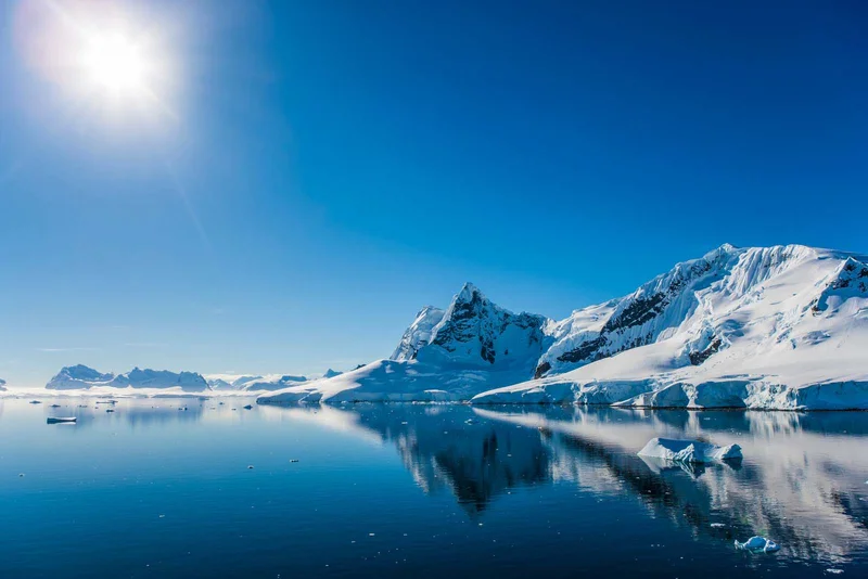
Prins Christian Sund has to be one of the world's most beautiful waterways. The strait, which is kept free from ice by strong tides all year long, is flanked on both sides by mountains that rise directly out of the sea. Some of these mountains reach a height of over 2000m. On the north side of the Strait, large glaciers are flowing from the ice sheets into the ocean, while on the south side sapphire-blue mountain glaciers tower over the waters and large icebergs dot the glassy water.
We will arrive at Aappilattoq in the late afternoon. This small village is nestled beneath the mountains that line Prins Christians Sund. This village has a different pace of life than Tasiilaq, or Kuummiut. Life here is more relaxed, and follows the tides, wind, and waves. Aappilattoq, which means 'Red,' in Greenlandic and refers to the stark granite mountains above, offers great hiking, while the local choir has a reputation throughout Greenland.
Day 8: Qassiarsuk and Itilleq Kujalleq
Early in the morning, an expedition ship will set sail to the tiny beach of Itilleq. The ship will pass through majestic mountains on the Tunulliarfik Fjord. Southern Greenland's fjords offer an entirely different climate to that of Greenland's north and east. This region, located at 60degN is on par with southern Scandinavia or northern Scotland, and has a similar climate. The weather here is humid and calm. Summers are warmer and winters milder than elsewhere in the country. Instead of steep rocky slopes, these fjords are lined by lush meadows. They are also dotted with small settlements of sheep farmers, including Qassiarsuk, Igaliku, and others.
We will alight in the bay of Itilleq and follow a trail to Igaliku. We will walk through lush green hills in the morning to the remains of Norse Bishop’s Palace at Gardar, once an important place for power and influence.
In the afternoon we'll reposition ourselves to the opposite side of the Fjord, to Qassiarsuk. This is a sheep-farming community. The modern village dates back to 1924 but the area has an interesting and longer history. Legendary Norse Explorer Eric the Red, who was expelled from Iceland settled here. The land that he found was named 'Greenland,' in order to attract other settlers. This marketing strategy has lasted for more than a millennium!
Erik the Red built a farmstead here in the typical Norse fashion, and named it 'Brattahlid.' Erik was fiercely loyal to Norse Gods but Thjodhild, his wife, is a Christian. According to legend, Thjodhild refused to enter his bed until Erik built her a small church. He eventually succeeded in building a hut called Thjodhildarkirkja, the first church to be found in America.
Norse settlements in Greenland were present for nearly 500 years before disappearing from history in the first half of 1400. The debate continues over whether they returned to Scandinavia because of a deteriorating climate or if a plague or famine hit them. The outlines of the buildings can still be seen today, including Erik's home, Thjodhild’s church, and the Bishop’s Palace, as well as the stunningly accurate reproductions of Eric's Farm, where Inuit farmers are still raising sheep. The area is now dominated by a statue commemorating Erik, the first European who reached the Americas. His son Leif was the first European ever to land on Baffin Island or Newfoundland. The settlements of Brattahlid, Gardar and Kujataa are rich with fascinating culture and history.
Day 9: At sea, en route to Nuuk
We will then follow the coast northwards, starting in South Greenland. Except for Kangerlussuaq, all settlements are located on Greenland's oceanic coast. The vast majority (about 50,000 people) lives on a narrow stretch of coastline on the western side of the island, which faces the Davis Strait.
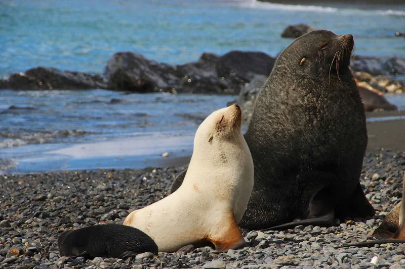
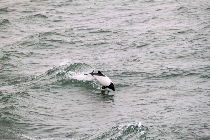
Warm water from the Atlantic is brought up to the West Coast by ocean currents, adding life-supporting waters. Keep your eyes focused on the ocean during our time at sea. In these waters, you can see seals, whales and an incredible variety of birds.
Day 10: Nuuk, capital of Greenland
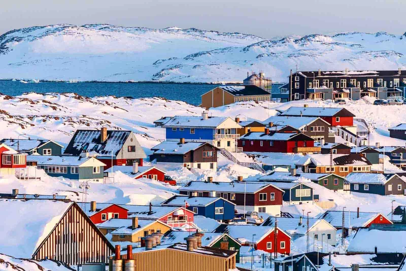
Nuuk, a city full of contrasts, is home to both skyscrapers, and wooden traditional houses. It's cosmopolitan and quaint, and combines the two. Nuuk is the vibrant capital city of Greenland. It feels larger than its 19,000 residents and has a variety of activities to offer visitors. Paleo Inuit have inhabited the calm fjords surrounding Nuuk since 2200BCE. Archaeological evidence indicates that ancient hunters followed migrating game through this area. In the early 100 CE, Icelandic Norse colonists established the Western Settlement on the lush meadows in Nuuk Fjord. These settlers disappeared a few hundred years later, leaving Greenland to Inuit who had been better prepared to survive in Greenland.
Hans Egede was the next Scandinavian who visited the region. He is the controversial Danish Missionary, Hans Egede. In 1728, he founded Nuuk under the name Godthab (Good Hope). Danish efforts to modernise Greenland during the 1950s had a profound impact on Nuuk. The city infrastructure was significantly improved, but the large apartment buildings in Nuuk are evidence of the rapid (and at times haphazardly) urbanisation. In 1979 the Home Rule Act established the Greenlandic parliament (Inatsisartut) and declared Nuuk as the capital. Nuuk's population is growing rapidly, and new suburbs are being built under Ukkusissat mountain, which towers east of the town.
Nuuk is a city that offers so much to visitors. It's the largest in Greenland and has some of Greenland’s most popular attractions. The Greenlandic National Museum in Kolonihavn is a treasure chest of history dating back to Greenland's first inhabitants. It contains artefacts of the Paleo Inuit and Norse eras, along with the spellbinding Qilakistoq Mummies. Visit the architectural wonder that is Katuaq to learn about Greenlandic culture. Shop for Greenlandic art in one of the many shops in the district. Or, relax in a trendy curbside café with a Greenlandic cup of coffee while watching the vibrant activity in this city. Nuuk York, as the locals are proud to call it, is different from any other Greenland city or even in the entire world.
Day 11: Kangaamiut and Evighedsfjorden
We will reach Kangaamiut on the final full day of the expedition. This small settlement is incredibly scenic and located in Greenland’s central Qeqqata Region. Kangaamiut is a small village in Greenland's central Qeqqata region, which has a rich back-country brimming full of game and cold, rich water. Locals live an essentially traditional life, subsisting on hunting and fishing. You can hike to the top of the hill and enjoy stunning views across the town, the fjordlands and beyond, or you can meet friendly locals at a demonstration featuring traditional foods, clothing and seal-flensing. Kangaamiut's artists are known throughout Greenland. Some of their most beautiful work is displayed in the small town museum.
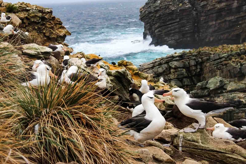
In the afternoon, we will sail inland into Evighedsfjorden/Kangerlussuatsiaq, one of the many deep fjords carved between the steep mountains of this region. The Danish name translates to 'The Eternity Fjord,' referring the the immense size of the inlet. The Greenlandic translation 'Kangerlussuatsiaq,' translates into 'The Rather Large Fjord,' a bit of a misnomer! Evighedsfjorden is a 100km long fjord that cuts through the mountains covered in glaciers. It bisects the large icecap which covers much of Greenland between Nuuk & Sisimiut, Greenland's largest cities. On a Zodiac Cruise, we will explore the Evigheds Glacier that flows from the Maniitsoq Ice Cap into the Fjord. Look out for the calving glacier and the guillemots or kittiwakes that live on nearby bird cliffs.
Day 12: Kangerlussuaq
We will be sailing up the Kangerlussuaq Fjord during the night. At the top of the fjord is the town of Kangerlussuaq. Kangerlussuaq has a unique climate among Greenlandic communities. It is the only "inland" community with a continental but stable climate. Kangerlussuaq, located above the Arctic Circle enjoys balmy temperatures in summer of up to 20degC/70degF. However, winters can be bone-chilling with temperatures below -40degC/F. Kangerlussuaq is a place where fogs and low clouds are uncommon. Strong winds, too, can be found there. The US Air Force built a runway here during World War II because of this. After the Soviet Union fell in 1992, the airport was handed over to civil authorities. Kangerlussuaq is now Greenland’s primary international airport.
Kangerlussuaq is relatively isolated in Greenland due to its military past and current role as a major air hub. Kangerlussuaq offers cultural activities, but the natural beauty of the area is what will really impress you. The Americans built dirt roads that allow access to large areas of back country, up to and including the Greenland Ice Sheet which is located around 25km away. There are also many animals in the region, including shaggy muskoxen (also known as reindeer) and muskoxen.
Day 13: Sisimiut, Greenland's second city
The ship arrives in Sisimiut after breakfast. Greenland’s second-largest city is home to 5,400 residents and it's one of the best places to visit. Paleo Inuit have been living around Sisimiut since at least 2,500 BC. They arrived in waves from Arctic Canada. The remnants of tents and turf huts from that time are scattered throughout the backcountry surrounding Sisimiut. This includes Tele Island which is a pleasant stroll from the harbour.
In 1756, Holsteinsborg was established by Count Johan Ludvig Holstein. In the oldest part of Sisimiut, you can find townhouses from that era. The oldest one dates to 1756. The Blue Church was built in Greenland in 1775 and is now one of the cultural landmarks in the historical museum district. It's arguably Greenland's best-preserved buildings.
Sisimiut, Greenland’s biggest export, is a hub for education and industry. Local factories are responsible for processing the majority of the fish that has been caught. Fish processing plants are located in Greenland's harbour. The plant is among the biggest and most advanced in the world. KNI's headquarters are located just beyond the harbour. This government-operated firm resupplies many of the small settlements in Greenland.
Sisimiut's bustling city center offers an insight into the daily lives of Greenlanders in the 21st century, when smartphones and seal hunting collide. Visit the Artists Workshop to purchase original artworks directly from the artists. Or, take a stroll through Spedjeso, and enjoy an exhibit at the cultural center. The expedition ship will sail to Qeqertarsuaq as the evening approaches. We'll leave Sisimiut, and head for Disko Bay with its icebergs.
Day 14: Qeqertarsuaq, Disko Island
We pull in to a natural harbour that is beautifully protected, nestled beneath the 1,000-metre high mountains of Disko Island. The Danish name for the place is Godhavn, which means Good Harbour. In Greenlandic it's "Qeqertarsuaq", or "The Big Island".
Godhavn served as the capital for most of Greenland’s modern history. Godthab (now Nuuk) was responsible for Southern Greenland. The economic importance of Disko Bay was due to its whaling industry, which has been the dominant Arctic activity since the 16th century. Godhavn's political importance was lost when the whale-fishing industry crashed in the early 1900s. All government functions were moved to Godthab/Nuuk. The town had to reinvent itself and change its name in 1979 to Qeqertarsuaq. Qeqertarsuaq's main industries are fishing and hunting, but tourism has become increasingly important. In summer, there are daily ferry services from Disko Bay to the town, but in winter only helicopters can reach it from Ilulissat.
The sweeping basalt hills of Qeqertarsuaq are very different from the granite-covered rolling hills that characterize most Greenland. They also provide much more fertile soil. The area is a lot greener and more lush than the rest of Greenland, despite being located well above the Arctic Circle. This rich volcanic soil combined with the mild microclimate makes it a much better place to live. In summer, locals come from Disko Bay to collect herbs, mushrooms and angelica. The stunning black sand beach and rock formations also attract tourists from around the globe. Greenlandic in nature, the town is full of colourful homes and a museum. It also has a unique octagonal shaped church, built according to the Norwegian stave design. Qeqertarsuaq is a town with a rich history and many hiking trails.
In the late afternoon, after our visit to Disko Island we will move our ship slightly eastward and use our Zodiacs for an exploration of the coastline of Kuannit. Kuannit is the Greenlandic word for 'Angelica,' a herb that grows in abundance on the south-facing slopes of the island. Greenland is proud of this stretch of coastline. With its lush vegetation, dripping from the mountain springs of water, bizarre basalt rock formations with waterfalls and caves, as well as plenty of sapphire blue icebergs.
We will then set out on a course northwards towards Uummannaq.
Day 15: Uummannaq and the Greenlandic Riviera
Uummannaq, a small town in northern Canada, is perched on a precarious ledge at the base of a huge mountain. The mountain here reaches 1170m vertically from the depths of ice, just like the rest of this area. Uummannaq (translated from Greenlandic to "heart-shaped") mountain is an iconic Greenlandic landmark and a climbing mecca that attracts climbers from around the globe. In 1763, Danish colonists founded the city on a flat area at the base of the mountain. Some of these original buildings can be seen in the harbour front area. Uummannaq is now known in Scandinavia for being the birthplace of Santa Claus. The small turf home that Santa Claus lives in can be found after a 2 to 3 hour hike.
The Inuit heritage of Greenland stretches back further than many other towns. Around the year 1600, there was a death in the region of a group Inuit women and their children (possibly due to a boating incident). The bodies were mummified by the Arctic winds and rain, which was protected them from both. They were buried in a rock cairn on the mainland, overlooking Uummannaq. In 1972, two brothers in Uummannaq rediscovered the mummies (possibly at the recommendation of Uummannaq elders who have preserved the rumours about the site over the centuries). They were sent to Denmark to be analyzed before returning to Greenland where they now rest at the National Museum of Nuuk. Uummannaq's small museum did not have enough space to display such an important discovery, but it does house a number of artifacts, including clothing, from the site, as well as finds dating back before, during, and after the Qilakitsoq era. It also houses a cabinet full of curious items from Uummannaq's short mining boom.
Uummannaq is an energetic little town. Locals will be selling their handicrafts on the town's grassy square. Others sell their catch at the fish market. Fishing boats will be anchored in the town square to lure halibut or hunters can load their fjordlands with supplies for hunting expeditions.
Be sure to be on the expedition ship outer decks when we sail out from Uummannaq. The deep blue, iceberg studded waters and dramatic mountains surrounding the city provide some of Greenland's best views. This stunning area is not called the Greenlandic Riviera for nothing. It has a quiet microclimate with constant summer sun.
Day 16: Eqip Sermia
We return from Uummannaq to Disko Bay and sail toward Eqip Sermia.
Eqip sermia, a descriptive Greenlandic term meaning "the Glacier At The End Of Fjord", is relatively small compared with other glaciers in Greenland. However, it still represents a vast river of Ice flowing from the Greenland Ice Sheet. The glacier is one of the busiest in Greenland, with ice tumbling off its vast front almost continuously. The expedition ship has comfortable decks offer the perfect place to witness the ice cataracts.
We will use our Zodiac boats to get close enough for us to hear the frequent calving of this glacier at sea (but from a safe distance)!
We will then reposition ourselves slightly to the south that evening, towards Ilulissat. This is the biggest city of Disko Bay, and the Iceberg Capital of the World.
Day 17: Ilulissat, Iceberg Capital of the World
It's all here. Greenland is a popular destination for tourists from around the globe. Ilulissat, which translates from Kalaallisut as "icebergs", is known around the globe as the "Iceberg Capital of the World". No other city in the world has such an amazing natural environment.
Ilulissat Icefjord is located within walking distance of the harbour. It's Greenland’s most popular site. Ilulissat Icefjord is 70km long, stretching from the outlet of Disko Bay in the vicinity of Ilulissat to the Sermeq Kujalleq Glacier. It's choked with icebergs the size and density that you could walk to the opposite side. It is the largest glacier outside of Antarctica. The glacier drains 13% of Greenland Ice Sheet and produces 10% of ice throughout the Northern Hemisphere. The Ilulissat Icefjord has been designated as a UNESCO World Heritage Site because of these mind-blowing stats, combined with its indescribable beauty.
Ilulissat is the third largest town in Greenland, with more than 4,500 residents. It has also become the tourism capital of the country, as it boasts more hotel rooms than Nuuk. Legendary Arctic Explorer, Knud Raasmussen, was born there, and the museum now occupies his childhood house. Ilulissat, Greenland’s third-largest town with over 4,500 residents, is Greenland’s tourism hub, boasting more hotel rooms that Nuuk. Visitors can enjoy the fresh seafood from local fishermen served at the cafes, restaurants and shopping. Summers are usually dry and sunny in the city. There is a wide range of hiking trails around Icefjord that can be adapted to all levels.
You will be able to take a trip on a boat with the local captain (optional excursion, fee applies). This journey lasts about 2 1/2 hours, and it is the most effective way to see the Ilulissat Icefjord. There is an option to take a fixed-wing plane flight over the Icefjord if a boat trip or hike are not enough.
Note that the price of the tour does not include the cost of boat or flight excursions. Please refer to Price Information.
Day 18: Itilleq (Qeqqata)
The settlement of Itilleq, which translates roughly as "the Crossing Place from the Sea” nestles at the foothills of the mountains and and fjords which line central Greenland's backcountry. Situated just north of the Arctic Circle, Itilleq is one of the many tiny villages dotting the coast of Greenland. The settlement is situated in the heart of the Aassivisuit-Nipisat UNESCO World Heritage Site, which was inscribed due to its ancient Inuit hunting heritage, documenting the entire habitation history of Greenland.
While the turf houses and hide tents have been replaced by colourful modern houses, the lifestyle here has changes little since the Inuit first arrived in Greenland. The local highways are the water and the ice, and the sea and tundra continue to nourish the locals, as they has for thousands of years. Arctic char, reindeer and muskoxen are typical catches, and are all plentiful in the area.
Despite this ancient heritage, locals in Itilleq are still firmly in the modern world, with smartphones, speedy wifi and satellite TV. However, the people of Itilleq remain justly proud of their ancient heritage, and continue to move their culture forward in a modern fast paced world. Locals are pleased to show off their piucturesque town, and visitors are greeted with typical warm Greenlandic hospitality.
After departing Itilleq, we will head slightly south and return to the 160km-long Kangerlussuaq Fjord.
Day 19: Kangerlussuaq, disembarkation
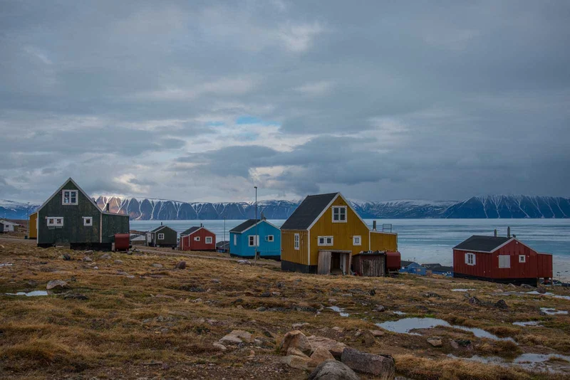
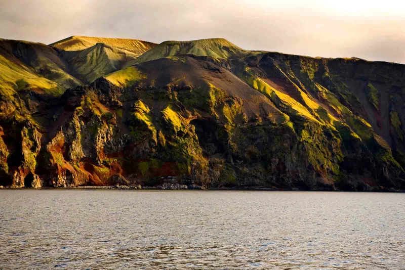
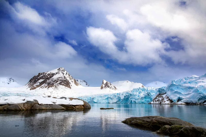
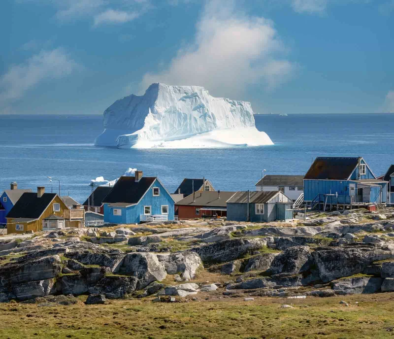

19 Day Artic Itinerary Includes
- Embarkation shuttle transfer to the vessel from Ushuaia city centre
- Shuttle transfer after disembarkation from the ship to Ushuaia city centre or airport
- All Zodiac landings and excursions, as per itinerary, guided by our Expedition Team
- Expedition parka
- Rubber boots loan scheme
- Briefings and lectures by our Expedition Leader and Team
- English-speaking Expedition Team
- Full board on the ship - breakfast, lunch, dinner and snacks
- Complimentary house wine, beer and soda at dinner (selected labels and brands, served at our a-la-carte dinners)
- Free tea and coffee available 24 hours
- Taxes and landing fees
- Special photo workshops
- Welcome and Farewell Cocktail Parties
19 Day Artic Itinerary Does not Include
- Extra excursions and activities not mentioned in the itinerary
- Single room supplement and stateroom upgrades
- Meals not on board the ship
- Beverages (other than coffee and tea)
- Tips for the crew (we recommend USD 14 per person per day)
- Personal expenses (e.g. Albatros Polar Spa services, Albatros Ocean Boutique purchases)
19 Day Artic Itinerary Highlights
- Explore the rugged terrain while enjoying Nordic hospitality and experiencing the local culture
- Enjoy the journey across Denmark Strait between Iceland and Greenland, with a variety of onboard activities to engage in.
- Explore the town's natural beauty, and witness traditional craftsmanship.
- Enjoying the stunning landscapes and observing local wildlife, creating unforgettable memories along the way.
- Marvel at the natural wonders of the area, from icebergs to glaciers, and explore the fjord by boat, offering a unique perspective on Greenland's stunning landscape.
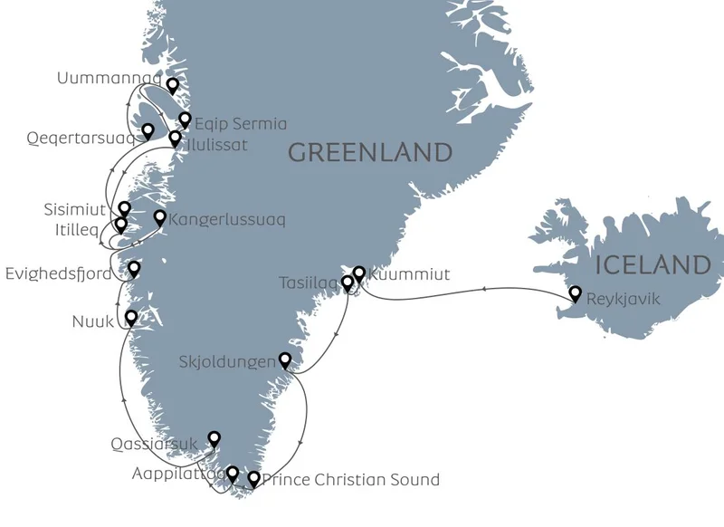
Itinerary Map
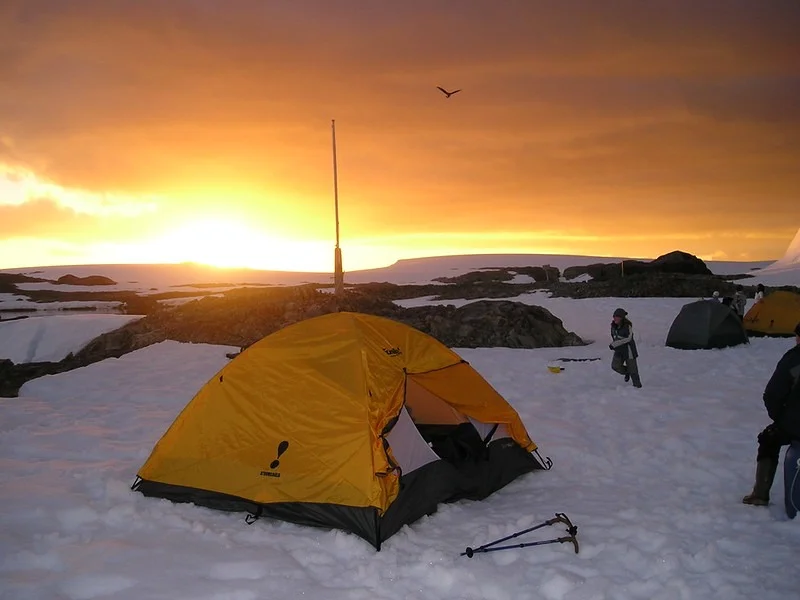
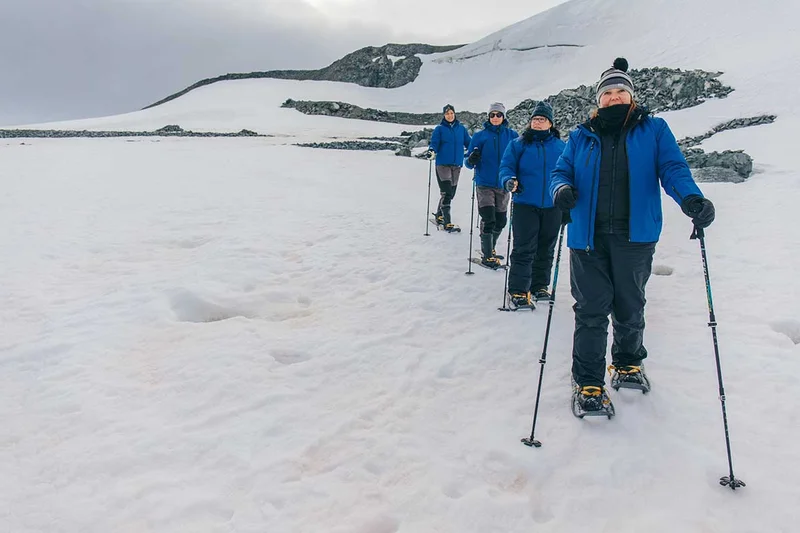
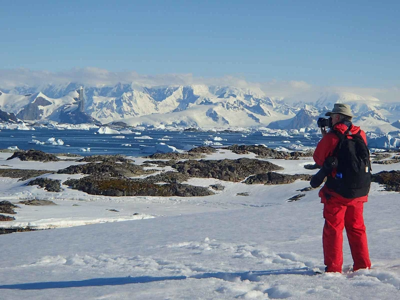
19 Day Arctic cruise activities

Animals you might see on this itinerary
The Ultimate Greenland Adventure
Why travel with us?
Would you like to know why booking with us is the best choice?
Discover the BenefitsSimilar Itineraries
